
Accumulating Snow For North Dakota & Very Cold Temps Coming
According to a special weather announcement from the National Weather Service in Bismarck, North Dakota accumulating snow is on the way for a good share of North Dakota including Bismarck.
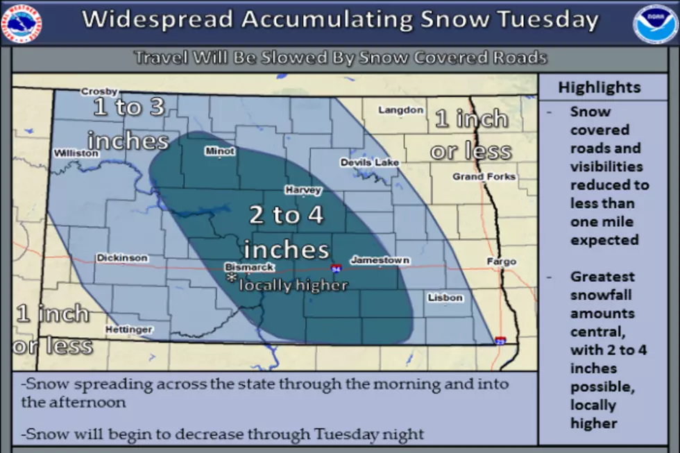
This snow event will have a one, two-punch. The first snow will begin on the overnight tonight and linger into tomorrow morning. We could see between 1 to 3 inches of new snow accumulation.
You won't have too much time to dig out because another 1 to 2 inches is expected to develop over North Dakota Tuesday night into Wednesday morning. Total snowfall accumulations could be as high as 5 inches with locally higher amounts.
To add insult to injury, we can expect to see very cold temperatures following this snow event. Very cold winds are expected to whip up as well which will lead to very cold windchills down to 30 below zero Tuesday night and Wednesday morning.
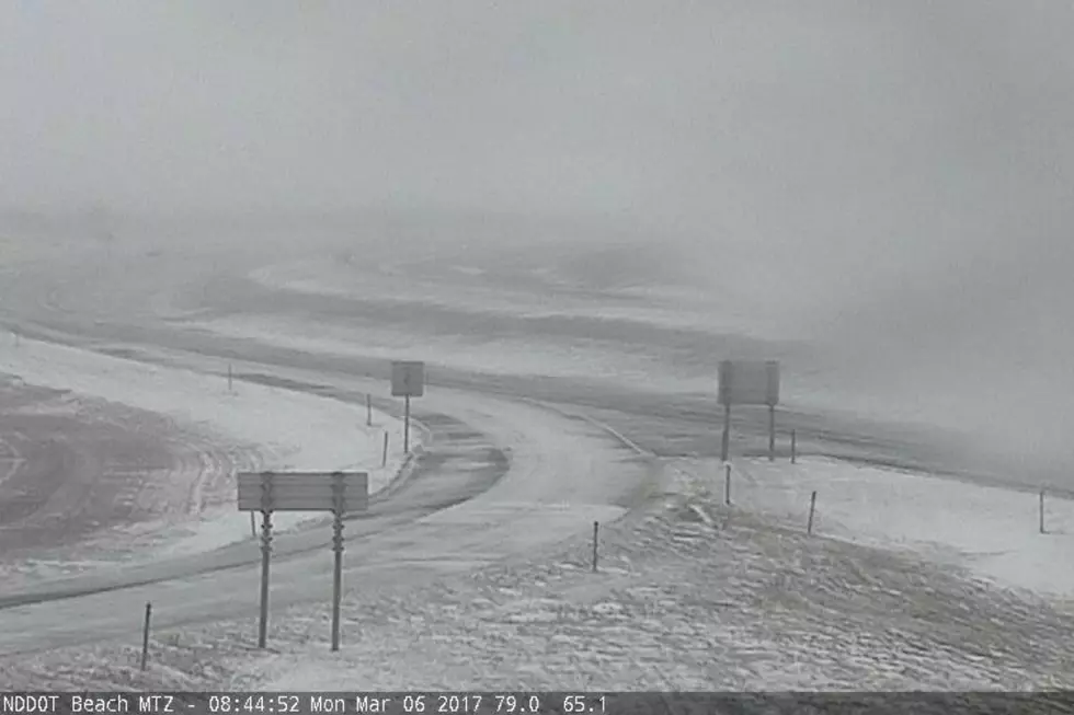
If you have travel plans tonight through Wednesday morning, be sure to listen to our Townsquare Media stations, be informed on local road conditions before you travel, and carry a winter survival kit in your vehicle in the event you become stranded.
Temperatures are expected to moderate starting Thursday as we will see high temps in the lower 20s in Bismarck Mandan. Temperatures will then warm into the mid to upper 20s the rest of the week and into the weekend.
So, be sure to make sure your snow blower is working and keep a shovel or two nearby. Sounds like you will need them and winter hasn't even officially begun yet.
Spectacular Storm Photos From Bismarck Mandan Area
LOOK: 25 over-the-top Christmas displays from across America
Gallery Credit: Annalise Mantz & Madison Troyer
More From 96.5 The Walleye