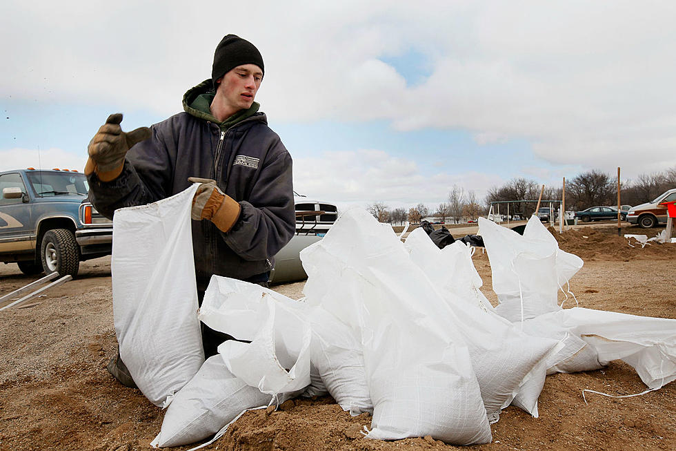

Flash Flood Watch In Effect for Bismarck- Mandan Area Until Late Friday
The National Weather Service in Bismarck has issues a FLASH FLOOD WATCH for the listening area until late Friday Night.
According to the NWS-
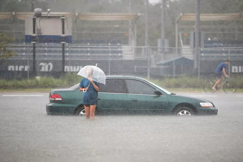
Thunderstorms capable of producing heavy rain are forecast for western and central North Dakota through Friday night. Excessive runoff will be possible, especially with the moist soil conditions in place over many locations. This may produce flooding of creeks, streams, and low lying areas. Cities and towns may experience rainfall rates that could exceed drainage capabilities, resulting in significant street flooding. Rainfall amounts in excess of two to three inches are possible, especially for locations that are impacted by multiple storms. Portions of North Central North Dakota, Northwest North Dakota, South Central North Dakota, southeast North Dakota and Southwest North Dakota, including the following counties, in north central North Dakota, Bottineau. Mchenry, Pierce, Renville, Rolette and Ward. In northwest North Dakota, Burke, divide, Mckenzie, Mountrail and Williams. In south central North Dakota, Burleigh, Emmons. Grant, Kidder, Mclean, Mercer, Morton, Oliver. Sheridan, Sioux and Wells. In Southeast North Dakota. Dickey, Foster, LA Moure, Logan, Mcintosh and Stutsman. In Southwest North Dakota, Adams, Billings, Bowman, Dunn. Golden Valley, Hettinger, slope and Stark.

With unstable air in the area and warmer temperatures, the likelihood of heavy rain, swollen lakes, streams and creeks are possible.
More From 96.5 The Walleye