Impactful Winter Storm For North Dakota Has Been Downgraded
A Winter Storm Warning remains in effect for the southern 2/3rds of North Dakota now through Tuesday morning at 7 am.
This includes all of our listening areas, including the counties of Morton, Burleigh, McLean, Oliver, Sheridan, Stark, Sioux, Kidder, McIntosh, Grant, and Emmons.
The cities impacted include Center, Hazen, Beulah, Garrison, Washburn, Underwood, Wing, Wilton, Turtle Lake, Bismarck, Mandan, Lincoln, Sterling, Steele, Dawson, Solen, Selfridge, Napoleon, Hazelton, Flasher, Elgin, Linton, Tappen, Strasburg, Wishek, and Ashley.
However, the National Weather Service in Bismarck has downgraded the severity of this storm.
As of Sunday morning, March 24th a "Special Weather Statement" was issued from the National Weather Service saying that the Colorado Low that was expected to bring heavy snow to the southern third of North Dakota is weaker than expected and tracking further to the east and south of the state.
That means that parts of South Dakota and Minnesota will see the heaviest amounts of snow.
How much snow will we see in the Bismarck Mandan area and south-central North Dakota?
Likely only 4 to 8 inches. Some of the other weather services have only an additional 1-3 inches for Bismarck Mandan (that looks more likely). Winds are still supposed to blow up to 45 miles per hour, with the strongest winds late Sunday afternoon into early evening.
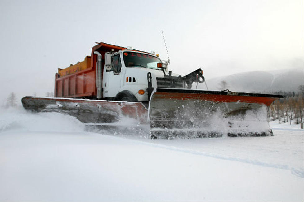
With the lighter snow amounts, this should help with travel conditions across the state, but you will likely still see reduced visibility in open country.
Impacts from this spring storm?
Travel could be difficult Sunday evening and you may see slippery roads for your Monday morning commute. We did see a slight glazing of freezing rain on very early Sunday morning. Blowing snow could reduce visibility. Be sure to have a winter survival kit with you if you must travel.
I wouldn't be surprised if this "Winter Storm Warning" is downgraded to a "Winter Weather Advisory" or dropped altogether as we get into Monday.
Be sure to monitor the latest forecast before you travel and let a friend or family know of your travel plans before you venture out.
You are advised to use caution when driving, slow down, and stay on top of the latest road conditions by calling 5 1 1 or you can see the latest statewide road conditions map here.
LOOK: The most extreme temperatures in the history of every state
Gallery Credit: Anuradha Varanasi
The 10 Most Dangerous Cities In North Dakota For 2024!
More From 96.5 The Walleye